
How to Sell a Buildable Lot With a Survey
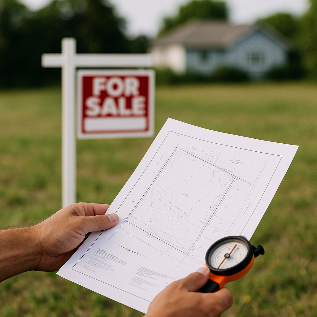
A survey can make a buildable lot easier to sell, but it does not by itself prove that a buyer can build the home they want. Its real value is narrower and more practical: it helps a buyer see where the parcel begins and ends, whether the advertised acreage is credible, where access lies, and whether visible improvements or neighboring uses create a problem.
For an absentee owner trying to sell a buildable lot with a survey, the decision is usually not “Do I have a survey?” It is “Is the survey current enough and detailed enough to reduce the buyer’s uncertainty?” A clean recent boundary survey can support a faster, firmer offer. An old sketch, a tax-map image, or a survey that reveals a fence across the line may still be useful, but it needs to be presented accurately.
Start by identifying the survey you actually have
Owners often use “survey” to describe several very different documents. Before sending it to a buyer, look for the surveyor’s name, license information, date, parcel description, seals or signatures where applicable, and notes on the face of the drawing.
The most useful document for a vacant residential lot sale is usually a boundary survey or boundary-and-improvement survey. It may show:
- Recorded boundary dimensions and corner monuments
- The parcel’s acreage or square footage
- Roads, rights-of-way, easements, and apparent access
- Fences, driveways, utility poles, structures, or other visible improvements
- Encroachments or overlaps observed by the surveyor
- The legal description used to identify the tract
Other documents can be helpful, but they are not interchangeable:
| Document | What it may help establish | What it usually does not establish |
|---|---|---|
| County GIS or tax map | General location and parcel number | Exact boundaries, usable dimensions, or encroachments |
| Plat of subdivision | Original lot layout and recorded restrictions | Current field conditions or monument locations |
| Mortgage location sketch | Approximate improvement location for a past loan | A current, full boundary analysis suitable for construction |
| Topographic survey | Elevation, contours, drainage features | Ownership boundaries unless combined with a boundary survey |
| Site plan or house plan | A proposed building layout | That the lot lines or setbacks shown are current and approved |
If your document is a recorded subdivision plat rather than a field survey, describe it that way. A buyer may still find it useful, particularly for an interior lot with simple dimensions, but they should not be led to believe that a surveyor recently marked the property.
Read the survey as a buyer would: can the proposed house fit?
A buyer does not purchase a survey because they enjoy reading bearings and distances. They use it to test a practical question: can this parcel accommodate a home, driveway, utilities, drainage measures, and any required setbacks?
That is why lot dimensions often matter more than total acreage. A 0.25-acre lot with 80 feet of frontage and a regular shape can be more straightforward for a builder than a larger flag-shaped parcel with a narrow access strip. Likewise, a deep lot may appear generous until a drainage easement, utility easement, slope area, or setback line consumes the most useful portion.
When reviewing the survey, flag—not hide—these items:
Easements
An easement is not automatically a deal-breaker. Utility easements along a frontage or rear property line are common. The issue is where the easement sits and what rights it gives another party. A wide drainage easement through the middle of a small lot can materially limit the building envelope. A recorded access easement may be essential to a landlocked parcel, but a buyer will want to understand its location, maintenance obligations, and whether it provides practical vehicle access.
The survey may show an easement referenced in public records, but title work is typically needed to confirm the complete recorded terms. Do not state that an easement is harmless simply because it appears on a drawing.
Encroachments
A fence, driveway, shed, retaining wall, or neighboring structure crossing a boundary deserves attention early. Some encroachments are minor and resolvable; others can delay a closing or require an agreement, relocation, or exception in title coverage.
A useful seller disclosure is simple: “The 2021 survey depicts a fence near or across the north boundary; seller has not obtained an encroachment agreement.” That is more credible than calling the issue insignificant before the buyer has reviewed it.
Missing or disturbed corner monuments
Surveyors may note that a corner was found, set, calculated, or inaccessible. If lot corners were recently staked, say so only if you can identify who performed the work and when. Stakes can be moved, damaged, or mistaken for old construction markers. Buyers should rely on the survey and their own professionals, not an owner’s visual estimate of where the line runs.
Apparent access versus legal access
A gravel road leading to a lot is not the same thing as documented legal access. The survey can show a road or right-of-way, but it may not answer every title question. This distinction matters especially for rural parcels in Florida, Arizona, Nevada, North Carolina, and other markets where a road may be privately maintained, unaccepted by a county, or located outside the recorded access route.
Decide whether an older survey is good enough to market
A survey does not necessarily become useless because it is several years old. Vacant land boundaries do not shift merely with time. But changes around the lot can make an older survey less reliable for a buyer’s immediate decision.
An existing survey is often worth sharing when all of the following are true:
- The parcel identification and legal description match current county and deed records.
- The lot has not been split, combined, replatted, or subject to a boundary adjustment since the survey date.
- No house, driveway, fence, utility installation, or major grading has changed the visible conditions.
- There is no known boundary dispute or new neighboring improvement near a line.
- The buyer understands it is historical information, not a promise that a title company or lender will accept it.
Ordering a new survey may be worthwhile before marketing if the parcel has irregular boundaries, questionable access, recent neighbor activity, a proposed build near setbacks, or a survey that exposes a possible encroachment. It can also help where the difference between the tax-record acreage and the surveyed acreage is material.
For a straightforward subdivided lot, however, paying for a new survey before you know the buyer’s intended use may not be the best first expense. Some builders prefer to commission their own survey so it meets their lender, engineer, or permitting requirements. Ask prospective buyers what they need rather than assuming a new survey will raise the offer dollar for dollar.
Do not market surveyed boundaries as a permit approval
This is the central limitation. A boundary survey is not a zoning verification, septic authorization, flood determination, wetland delineation, utility availability letter, or building permit.
It may help a buyer estimate a potential building area, but local setback rules, minimum lot width, impervious-surface limits, driveway requirements, environmental constraints, and planned utility placement still need separate review. A survey that shows a 100-foot-wide lot does not guarantee that a particular house plan fits after all applicable requirements are considered.
Use precise language in marketing:
- Better: “Seller has a boundary survey dated 2020 showing approximately 0.31 acres and 90 feet of road frontage.”
- Better: “Survey depicts a 15-foot utility easement along the rear boundary.”
- Avoid: “Surveyed and fully ready to build.”
- Avoid: “No issues,” unless qualified professionals have confirmed the specific issue being discussed.
Precision protects the transaction. It also helps serious buyers quickly recognize what has already been documented and what remains for their due diligence.
Prepare the survey for a remote sale
If you live out of state, make the document easy to review without altering it. Keep the original PDF or a legible scan, including all pages, notes, legend, certifications, and attachments. A cropped screenshot of the lot outline is useful as a locator, but it should not replace the full survey.
Alongside the survey, provide the parcel number, county, current deed or vesting information if available, and the survey date. If you know of a discrepancy—such as a different acreage figure on the tax bill—identify it rather than hoping a buyer will not notice. Buyers commonly compare the survey to county GIS, title records, aerial imagery, and the property’s legal description.
It is also helpful to state what you do not know. For example: “Seller has not visited the property recently and has not verified whether the monuments remain visible.” For an absentee owner, that is not a weakness; it is an honest boundary on the information being offered.
How a survey affects the way you sell
A recent, clean survey can make the lot more suitable for a builder, investor, or direct cash buyer because it narrows one category of uncertainty. It may support a more confident price discussion, particularly where lot width, frontage, or access drives value.
It does not mean every sale should go through a retail listing. If the survey establishes a clear parcel but you prefer a simpler sale, Ultimate Land Deals can review the lot for a direct purchase or determine whether it fits an off-market builder or investor buyer. The survey is most useful when it helps match the property with a buyer whose intended use fits its actual boundaries and constraints.
Before requesting offers, send the full survey and ask a focused question: “Based on the surveyed boundaries, frontage, and shown easements, does this lot fit your acquisition criteria?” That invites a real evaluation instead of a vague expression of interest.
Frequently asked questions
Will title accept my existing survey?
That depends on the title company, the survey’s age and type, the buyer’s financing, and the title insurer’s requirements. A seller should not assume an older survey will be accepted for title insurance or lender purposes. The title company can explain its requirements once a transaction is underway.
Does a survey increase the value of vacant land?
It can increase marketability by reducing uncertainty, but it does not automatically add its full cost to the sale price. Its value is greatest when boundaries, frontage, access, or an apparent encroachment are important to the buyer’s intended project.
Should I have lot corners marked before selling?
It can help a buyer inspect the site, especially on wooded or irregular parcels. But only a qualified surveyor should locate or set boundary markers. Do not rely on an old stake, fence post, or GPS pin as proof of the property line.
Can I sell the lot if the survey shows an encroachment?
Usually, yes, but the issue should be disclosed and evaluated. The buyer, title company, and potentially a surveyor or attorney may need to determine whether an agreement, correction, title exception, or other action is necessary before closing.