
Royal Highlands Lot Zoning: Four Parcel Checks
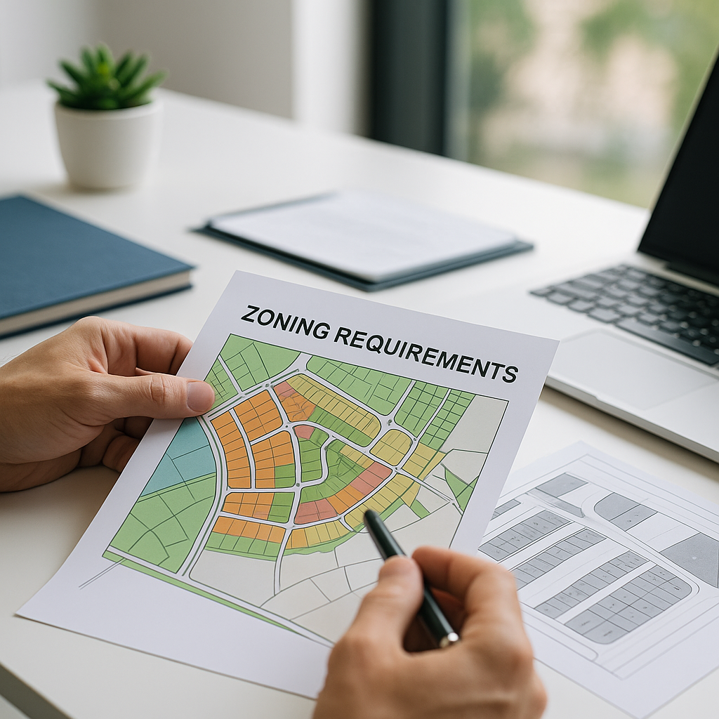
A Royal Highlands-area lot should be evaluated by its exact parcel information, not by a neighborhood description or nearby construction. This guide from Ultimate Land Deals outlines questions to verify with Hernando County before describing a lot for a proposed use.
Hernando County states that zoning districts define how land may be used and that each district has its own permitted uses, setbacks, and dimensional requirements. The County also notes that Planned Development Project (PDP) districts have customized standards that vary by project. Hernando County Zoning Districts
Start with the decision you need to make
The records to review depend on whether you are considering a home, evaluating a purchase, or preparing a listing. In each case, begin with the parcel number and the proposed use.
For a seller, describe verified information such as the parcel number, zoning label, and recorded plat rather than making a broad development claim. For a buyer, provide the parcel number and a preliminary layout question to County staff before relying on a listing description.
Four parcel checks
1. Identify the current zoning district
Use the County’s zoning resources and GIS information to identify the zoning designation assigned to the parcel. Hernando County instructs property owners to locate the zoning district through the Property Appraiser’s General GIS Map with the Zoning Layer enabled. Hernando County Zoning Districts
Write down the exact zoning label before evaluating permitted uses, setbacks, or dimensions.
2. Determine whether the parcel is a PDP property
A designation beginning with PDP needs project-specific review. The County explains that PDP districts have customized uses and setbacks that vary by project. Its Development Services FAQ further states that PDP properties follow the uses in the master plan and conditions of approval. Ask Planning for the applicable master plan and conditions before relying on general district standards. Hernando County Development Services FAQ
3. Review the recorded plat for easements and buffers
County zoning information cautions that platted lots may have easements or buffers beyond the setbacks shown for the zoning district. Review the recorded plat and identify any easements, buffers, or lot-layout details that could affect a proposed layout. Hernando County Zoning Districts
Questions to verify include:
- Are there platted easements or buffers?
- What are the lot dimensions shown on the plat?
- Does the proposed structure location fit the applicable zoning standards and plat information?
4. Use County mapping information for an initial site review
Hernando County’s GeoHub land-development map includes address and parcel-key searches as well as information on flood zones, wetlands, conservation lands, land use, setbacks, maximum building height, and other current Code standards. Use those layers as part of a parcel review and direct project-specific questions to County staff. Hernando County GeoHub announcement
A practical review sequence
- Locate the parcel’s zoning designation.
- Identify whether the zoning designation is a PDP district.
- Review the County standards associated with the confirmed district or PDP approval.
- Obtain and review the recorded plat for easements and buffers.
- Check relevant GeoHub layers for the parcel.
- Ask County Planning and Building staff about the intended use and proposed layout before making a development-oriented claim.
Hernando County’s Planning and Zoning Division administers zoning codes, reviews site plans for residential and commercial building and zoning permits, and provides zoning information to the public. The County lists Planning and Zoning contact information on its Planning and Zoning page.
How to describe a parcel carefully
For a listing or buyer package, keep a concise file with the parcel number, legal description, zoning designation, recorded plat, and any County correspondence already obtained. A cautious description might state:
“County GIS identifies the parcel’s zoning designation as [designation]. Buyer should verify the intended use, applicable standards, plat information, and permitting requirements with Hernando County.”
Avoid presenting a general area description as confirmation of the standards that apply to a specific parcel.
FAQs
Should I rely on a real-estate listing’s zoning label?
Use it as a starting point, then verify the parcel’s zoning designation through County resources and ask Planning about the intended use.
What if the parcel has a PDP zoning designation?
Request the applicable master plan and conditions of approval. Hernando County states that PDP districts have customized uses and setbacks that vary by project.
Why review the plat after checking zoning?
The County notes that platted lots may have easements or buffers beyond the setbacks shown in the zoning district.