
Port Charlotte Lot Setback Questions: A Records Guide
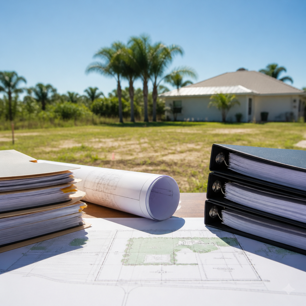
Port Charlotte Lot Setback Questions: Records to Organize Before a County Inquiry
A setback question is best prepared as a parcel-specific question. Before asking about a proposed home or other improvement, organize the property information you have and clearly describe the proposed work.
Published by Ultimate Land Deals.
Start with the parcel and the proposed project
Prepare a short file containing:
- Parcel ID and legal description
- Street address, if assigned
- The proposed structure or improvement
- Approximate dimensions and a proposed location
- Any survey, plat, deed, or prior site drawing available to you
For a new home, Charlotte County's consumer guide directs applicants to contact the Zoning Desk for advice about setback requirements, impact fees, and special conditions on the property. Read the county's single-family-residence permitting guide.
Keep planning and permit questions distinct
Charlotte County states that its Planning & Zoning Division manages land-use and zoning regulations, reviews site plans and development proposals, coordinates rezoning and variance requests, and provides mapping and platting services. Charlotte County Planning & Zoning
For a proposed new single-family home, the county's consumer guide identifies materials used in the permit process. It says the legal description and Parcel ID must be provided, and it identifies signed and sealed surveys and site plans among the materials to be submitted. The guide says site plans show proposed structures, setbacks to property lines or other listed features, easements, and street names. See the consumer guide.
A useful inquiry can therefore identify both the parcel and the proposed work:
“I am asking about parcel [parcel ID] and a proposed [structure]. Which office should I contact about the applicable setback questions, and what materials should I provide for review?”
Use mapping information to organize your file
Charlotte County's GIS layer information lists available mapping layers, including Property Appraiser account identification, address information, survey benchmarks, block numbers, lot and parcel boundaries, zoning districts, and properties with a Certificate of Elevation on file. The county identifies its data as Stateplane Florida West, Zone 3626, with NAD83 datum and feet as the units. Review the GIS layer information.
When reviewing mapping information, keep a record of:
- The parcel identifier used for the search
- The date you reviewed the information
- The visible layers relevant to your question
- Any survey, plat, or other document you already have
Questions to ask before relying on a proposed location
For a proposed new home, ask the county which current information and documents it needs for the review. Useful questions include:
- Can you confirm the parcel identified by this Parcel ID and legal description?
- Which zoning information should I obtain for this proposed project?
- What survey or site-plan information is needed for the proposed location?
- Are there special conditions or other records I should address before submitting a permit application?
- Is there a written application, response, or other record I should retain?
Charlotte County's consumer guide also states that the permit process involves documentation, fees, licensed contractors, and inspections. Review the guide for the materials and steps applicable to a proposed new single-family residence. Consumer Guide: Permitting for a Single Family Residence
If you are preparing to sell a lot
Whether you sell independently, work with an agent, or consider an offer from a direct buyer, keep the parcel file focused on documents you actually have. Provide the Parcel ID, legal description, survey if available, and any written county correspondence. Clearly identify questions that remain unanswered rather than describing a proposed home location as confirmed.
FAQs
What should I have ready before asking about setback questions?
Start with the Parcel ID, legal description, intended structure, approximate dimensions, and any available survey, plat, or site drawing.
Who should I contact about a proposed new home's setbacks?
Charlotte County's single-family-residence guide says to contact the Zoning Desk for advice on setback requirements, impact fees, and special conditions on the property. Read the county guide.
What county mapping information can help identify a parcel?
The county's GIS layer list includes Property Appraiser account identification, addresses, lot and parcel boundaries, block numbers, zoning, and other listed layers. Charlotte County GIS Layer Information