
Cape Coral Canal Boating Access: What to Verify
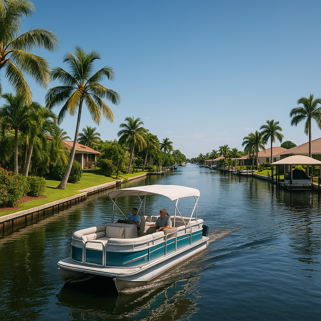
Cape Coral canal frontage can support different kinds of boating and paddling, but the City’s published ramp information does not establish the route, launch options, or waterfront-improvement status of an individual lot. Those questions should be verified for the specific parcel and intended trip.
The City identifies BMX Boat Ramp as freshwater access. Its kayaking information says the ramp launches into Shelburne Canal, which connects with several freshwater canals, Alhambra Lake, Lake Kennedy, and Saratoga Lake. The City separately identifies named saltwater launch locations, including ramps connecting to the Caloosahatchee River or Matlacha Pass. Cape Coral kayaking information
Start with the waterway and the intended trip
The City states that it has more than 400 miles of canals and that many have direct access to the Caloosahatchee River and the Gulf of America. It separately lists BMX Boat Ramp as “freshwater access.” Cape Coral boating information
That citywide information is a useful starting point, not a route determination for a lot. Before relying on boating access, ask:
- Which canal touches the parcel?
- How does the City classify that waterway?
- What connected canals, lakes, or destinations are relevant to the planned use?
- What route is being claimed for the specific trip?
- Are there physical or operational conditions that matter for the vessel being considered?
Use the City’s maps page to begin researching the parcel and waterway. The City cautions that its maps are intended for internal use and may require staff interaction to understand correctly.
Public-ramp information
For a freshwater outing, the City describes BMX Boat Ramp’s connection to Shelburne Canal and the listed freshwater canals and lakes. For saltwater outings, the City’s kayaking page identifies separate ramps and the waters they connect to, including Chantry Canal/Rosen Park and Horton Park.
The City says its boat ramps are generally accessible 24 hours a day unless closed for safety or repairs. Its improved-ramp parking page lists BMX, Burnt Store, Crystal Lake, Horton Park, and Rosen Park among locations using the parking-payment system, and publishes parking fees and resident-decal information. Check the current boat-ramp parking page before a trip because conditions and fees can change.
Waterfront improvements: verify the parcel, records, and proposal
This article does not determine whether a particular lot has an existing dock, lift, seawall, shoreline feature, or suitable private launch area. It also does not determine what work may be performed on a parcel.
Cape Coral’s Permit Document Center includes a marine-improvement application and materials for docks, boat lifts, seawalls, and other waterfront work. Review the applicable current materials and ask City Development Services about the particular parcel and proposed project. Cape Coral Permit Document Center
Questions to verify include:
- Are there permit records for existing waterfront improvements?
- Does the survey show the canal boundary, easements, or rights-of-way relevant to the proposal?
- What City review and documentation apply to the exact improvement being considered?
- Does the planned vessel and method of access fit the particular canal and shoreline conditions?
A practical due-diligence list
Before treating a canal-front lot as suitable for a particular boating plan, obtain or confirm:
- Parcel ID, survey, and property-boundary information.
- The City’s available mapping and waterway information for the canal adjoining the lot.
- The intended route, described step by step from the planned launch point to the destination.
- Existing permit records for waterfront structures, if any.
- Current City guidance for any proposed marine improvement.
- The appropriate public ramp, parking requirements, and current operating status.
Boating education is a separate issue
Property access and operator requirements are different questions. The Florida Fish and Wildlife Conservation Commission says that a person born on or after January 1, 1988, who operates a motorboat of 10 horsepower or more generally must complete an approved boating-safety course and obtain an FWC Boating Safety Education Identification Card; the agency lists exemptions and temporary options. FWC boating-safety education FAQs
That education requirement does not answer whether a specific Cape Coral parcel has a suitable launch, an available waterfront improvement, or a route that meets the buyer’s intended use.
FAQs
Does canal frontage establish a particular boating route?
No route conclusion should be drawn from frontage alone. Verify the canal touching the parcel and the route for the intended destination.
What does BMX Boat Ramp provide access to?
The City identifies BMX as freshwater access and says it launches into Shelburne Canal, which connects with several freshwater canals, Alhambra Lake, Lake Kennedy, and Saratoga Lake.
Can I assume a dock, lift, seawall, or private launch is available?
No. Check the parcel survey, existing records, and current City permitting materials for the specific existing condition or proposal.
Where can I confirm current ramp parking information?
Check Cape Coral’s boat-ramp parking page before using an improved ramp.