
Bullhead City Lot Flood Zone Lookup Guide for Owners
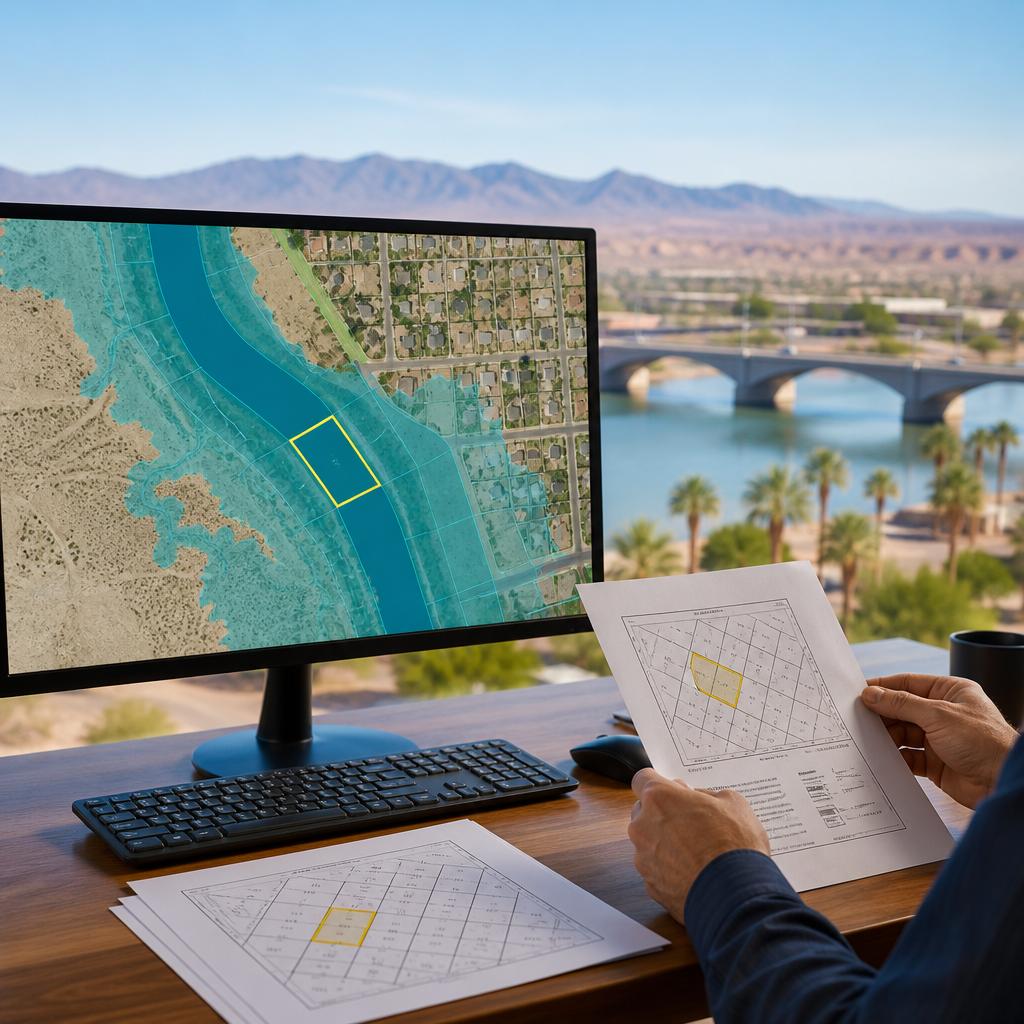
Bullhead City Lot Flood Zone Lookup: Turn a Map Result Into a Parcel File
Published by Ultimate Land Deals.
A Bullhead City lot flood-zone lookup can begin with the Mohave County Flood Control District Web Viewer, but the viewer should not be treated as a final parcel determination. The viewer describes itself as a general-reference tool. It says displayed data layers may not be accurate, current, or otherwise reliable, and that the map is not a legal document or a substitute for survey or deed information.
Start with the county viewer
The viewer includes a search option for a parcel by owner name or parcel number. When reviewing a lot, retain:
- The search term used
- The date of the lookup
- A screenshot of the displayed parcel area and relevant layers
- Flood-related labels visible in the result
- Any records you already hold, such as a deed, survey, elevation information, correspondence, or permit records
The map result can be a useful record for further review, but it should remain separate from boundary, title, and survey records.
Read the map label carefully
Bullhead City states that it provides information and services related to FEMA-designated floodplains. The City says FEMA floodplain boundaries are mapped using engineering studies that FEMA reviews and approves.
| Map label | City description |
|---|---|
| Zone X | Areas with moderate to low flood risk |
| Zone A | A general, approximate floodplain boundary without detailed flood-elevation data |
| AE, AO, or AH | Detailed floodplain mapping that includes flood elevations, depths, or velocities |
These labels describe flood-related mapping. For a proposed development or a question about a specific property, the City says it is available to help with information and services related to FEMA-designated floodplains. See the City’s Floodplain page.
Why a dry-looking lot can still need review
Mohave County’s Flood Awareness Booklet cautions that normally dry rivers, washes, and channels can become dangerous during storms. It defines a 100-year floodplain as an area with a one-percent chance of flooding in a given year. The booklet also notes that mapped areas can include flood-control channels and areas referred to as ponding zones.
If a map display shows a wash, channel, floodplain boundary, or other feature near the lot, retain that context with the screenshot and ask the appropriate public office what information applies to the parcel.
Contact Bullhead City for floodplain information
Bullhead City lists the following floodplain services:
- Verbal floodplain determination: no charge
- Floodplain determination letter: $25 per letter
For questions related to floodplain status, building permits, or zoning permits, the City lists its Planning / Code Enforcement Manager at City Hall, 2355 Trane Road, Bullhead City, AZ 86442, telephone 928-763-0123. The City also lists Engineering staff at 928-763-0128 for information regarding City flood-hazard-mitigation projects.
Before relying on a response for a transaction or planned activity, confirm the current process, the scope of the requested information, and applicable fees.
A focused inquiry can identify the parcel and the question being reviewed:
Please provide floodplain information for Mohave County parcel [number], legal description [description]. Please advise whether a floodplain determination letter or other City record is available for this parcel.
Keep the records separate
A useful parcel file can separate these categories:
- Map display: The county viewer screenshot, search term, date, and visible labels.
- City floodplain information: Notes from a verbal inquiry or a City determination letter.
- Boundary and title records: Deed, survey, and title materials. The county viewer says it should not be substituted for survey or deed information.
- Other available records: Elevation-related documents, drainage information, and permit records already associated with the lot.
Frequently asked questions
Can I use the Mohave County viewer as a final floodplain determination?
No. The viewer says it is for general reference, that its displayed data may not be accurate, current, or otherwise reliable, and that it is not a legal document. The County flood-awareness material also says the interactive map is not an official document that can be used for floodplain determination.
What does Zone A mean?
Bullhead City describes Zone A as an area with a general, approximate floodplain boundary but without detailed flood-elevation data.
What does Zone X mean?
Bullhead City describes Zone X as an area with moderate to low flood risk.
Is a Bullhead City floodplain determination letter listed as available?
Yes. The City’s floodplain page lists a floodplain determination letter at $25 per letter and a verbal floodplain determination at no charge. Confirm the current process and scope before requesting one.